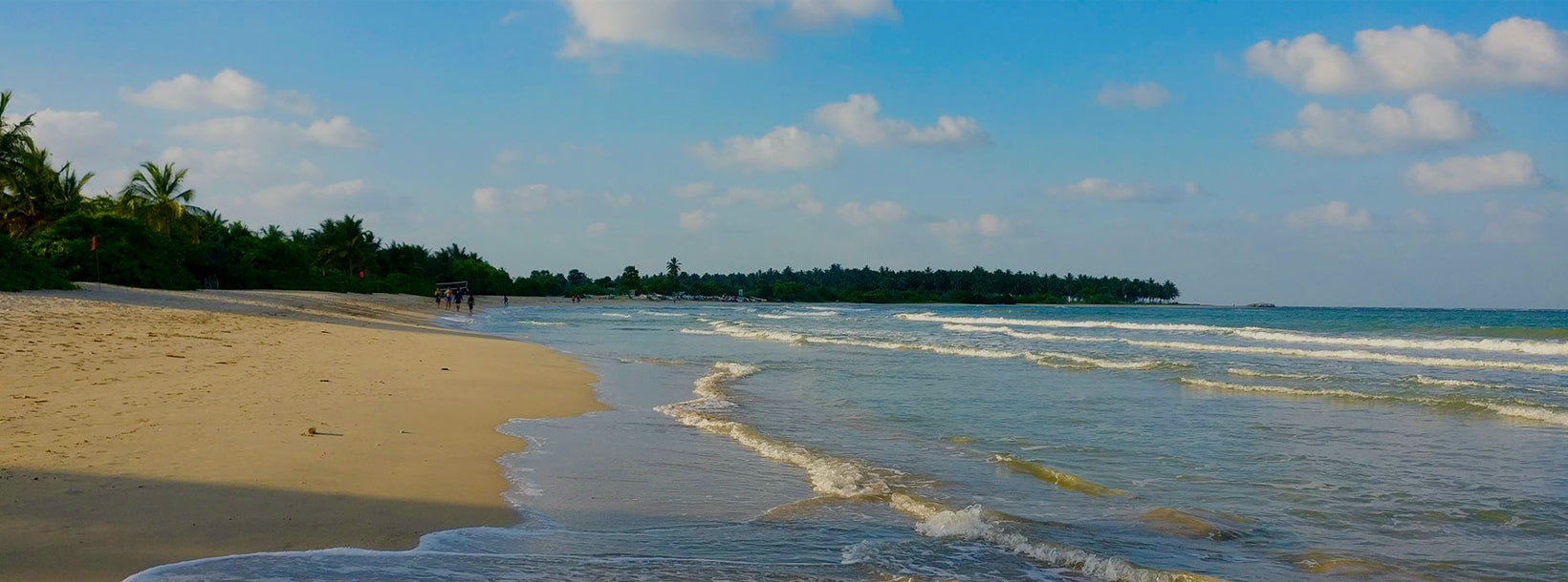
Kalkudah City
Kalkudah or Kalkuda is a coastal resort town located about 35 kilometers northwest of Batticaloa, Batticaloa District, Sri Lanka. Pasikudah and Kalkudah are located few kilometers apart.
Kalkudah
Kalkudah veya Kalkuda, yaklaşık olarak bulunan bir sahil beldesidir. 35 Batticaloa"nın kilometre kuzeybatısında, Batticaloa Bölgesi, Sri Lanka. Popüler bir turizm merkeziydi, ancak 2004 Hint Okyanusu Tsunami ve Sri Lanka İç Savaşı turist sayıları nedeniyle azaldı. Pasikudah ve Kalkudah birkaç kilometre uzakta.
Batticaloa District hakkında
Batticaloa Sri Lanka.Batticaloa Doğu ilinde bir şehirdir doğuda Hint Okyanusu tarafından bindik düz bir kıyı düzlüğünde Sri Lanka doğu kıyısında merkezi kaplar Doğu Sri Lanka"nın bir parçası. Batticaloa, Doğu kıyısında, Colombo'ya 314 km mesafededir. 515.707 nüfusu esas olarak Tamiller, Moors, Sinhalese, Avrupa-Asya Burghers (özellikle Portekizli Burghers ve Hollandalı Burghers) ve indigenous yerli population nüfus.
Pirinç ve hindistancevizi ilçenin iki temelidir, ve adanın etrafında ticaret yapan vapurlar limanda düzenli olarak arar. Lagün, müzikal notalar veren kabuklu balık olması gereken "şarkı söyleyen balıkları" ile ünlüdür. İlçenin bir Veddahs kalıntısı veya ahşabın vahşi adamları var.
Şehrin dört ana bölümü var
- Pullianthivu: Birçok devlet departmanı ve ofisinin koltuğu, okullar, bankalar dini yerler, Genel Hastane, Weber Stadyumu ve Mağazalar. Günümüzde ICRC, BM, UNICEF, WORLD VISION gibi birçok STK ofisi de bulunmaktadır.
- Koddamunai: Okullar, Bankalar, Doğu için Sri Lanka Telekom bölge ofisi, Mağazalar ve birçok devlet dairesi bulunmaktadır. Perya Palam'ın ve Puthuppalam'ın adı verilen iki köprü, Pulianthivu Adası'nı Koddaminai kara kütlesine bağlar.
- Kallady: Burada birçok Devlet binası ve özel sanayi var, okullar, hastaneler ve Doğu Üniversitesi Tıp Fakültesi. Kallady Lady Manning Köprüsü (Sri Lanka'daki en uzun köprü) Kallady ve Arasay"ı birbirine bağlar.
- Puthur: Burası domun olduğu yer
Eastern Province hakkında
Doğu Eyaleti, 9 Sri Lanka"nın eyaletleri. İller 19. yüzyıldan beri var olmuştur, ancak 1987 yılına kadar herhangi bir yasal statüye sahip değillerdi. 13. Sri Lanka Anayasası 1978 Anayasasında yapılan değişiklik il konseyleri kurdu. 1988 ve 2006 yılları arasında il, Kuzey-Doğu Eyaleti'ni oluşturmak için geçici olarak Kuzey Eyaleti ile birleştirildi. Eyaletin başkenti Trincomalee'dir. Doğu eyaletinin nüfusu 2007 yılında 1.460.939 idi. İl Sri Lanka"daki en çeşitli eyalettir, hem etnik hem de dini olarak.
Doğu eyaleti 9.996 kilometrekare (3.859.5 sq mi) bir alana sahiptir.İl kuzeyde Kuzey Eyaleti, doğuda Bengal Körfezi, güneyde Güney Eyaleti ve Uva, Orta ve Güney Eyaleti ile çevrilidir. Batıda Kuzey Orta eyaletler. Eyaletin kıyılarına lagünler hakimdir, en büyüğü Batticaloa lagün, Kokkilai lagün, Upaar Lagünü ve Ullackalie Lagünü.
About Batticaloa District
Batticaloais a city in the Eastern province of Sri Lanka.Batticaloa is in the eastern coast of Sri Lanka on a flat coastal plain boarded by the Indian Ocean in the east occupies the central part of the eastern Sri Lanka. Batticaloa is on the East coast, 314 km from Colombo. The population of 515,707 consists mainly of Tamils, Moors, Sinhalese, Euro-Asian Burghers (specifically Portuguese Burghers and Dutch Burghers) and indigenous Vedda population.
Rice and coconuts are the two staples of the district, and steamers trading round the island call regularly at the port. The lagoon is famous for its "singing fish" supposed to be shell-fish which give forth musical notes. The district has a remnant of Veddahs or wild men of the wood.
The city has four main divisions
Pullianthivu: Seat of many government department and offices, schools, banks religious places, General Hospital, Weber Stadium and Shops. Nowadays many NGO offices including ICRC, UN, UNICEF, WORLD VISION etc.are located also.
Koddamunai: Schools, Banks,Sri Lanka Telecom regional office for East, Shops and many government offices are located. Two bridges called Perya Palam and Puthuppalam are connect Pulianthivu Island with Koddaminai land mass.
Kallady: Here there are many Government buildings and private industries, schools, hospitals and Eastern University Medical Faculty. Kallady Lady Manning Bridge (the longest bridge in Sri Lanka) connects Kallady and Arasay.
Puthur: This is where the dom
About Eastern Province
The Eastern Province is one of the 9 provinces of Sri Lanka. The provinces have existed since the 19th century but they didn't have any legal status until 1987 when the 13th Amendment to the 1978 Constitution of Sri Lanka established provincial councils. Between 1988 and 2006 the province was temporarily merged with the Northern Province to form the North-East Province. The capital of the province is Trincomalee. The Eastern province's population was 1,460,939 in 2007. The province is the most diverse in Sri Lanka, both ethnically and religiously.
Eastern province has an area of 9,996 square kilometers (3,859.5 sq mi).The province is surrounded by the Northern Province to the north, the Bay of Bengal to the east, the Southern Province to the south, and the Uva, Central and North Central provinces to the west. The province's coast is dominated by lagoons, the largest being Batticaloa lagoon, Kokkilai lagoon, Upaar Lagoon and Ullackalie Lagoon.


